Carderock Recreation Area Pavilion
8 mi south · National Park Service
The picnic pavilion at the Carderock Recreation Area is a large covered pavilion, open on three sides, that accommodates a maximum of 200 people.
Outdoors
Lakes, rivers and recreation areas near Rockville where fishing is allowed, closest first.
Good to know: Anyone 16 or older generally needs a state fishing license; seasons, limits and special rules vary by water. Maryland license information ↗
8 mi south · National Park Service
The picnic pavilion at the Carderock Recreation Area is a large covered pavilion, open on three sides, that accommodates a maximum of 200 people.
8 mi southwest · National Park Service
Preserving America's early transportation history, the C&O Canal began as a dream of passage to Western wealth.
17 mi southeast · National Park Service
to Anacostia Park, your neighborhood national park in the heart of Washington, DC! Enjoy exercise along the river trail or relax by the water, Anacostia Park is a breath of fresh air and a space to unwind amid a bustling city.
Map of 11 places loads as you scroll.
The picnic pavilion at the Carderock Recreation Area is a large covered pavilion, open on three sides, that accommodates a maximum of 200 people.
Preserving America's early transportation history, the C&O Canal began as a dream of passage to Western wealth.
to Anacostia Park, your neighborhood national park in the heart of Washington, DC! Enjoy exercise along the river trail or relax by the water, Anacostia Park is a breath of fresh air and a space to unwind amid a bustling city.
Patuxent Research Refuge was established in 1936 by executive order of President Franklin D. Roosevelt, and is the only wildlife refuge established to support wildlife research. Today the U.S.
The Potomac River corridor is rich in both history and recreation, offering a chance to both explore your heritage and choose your adventure along the way. Start your journey here!
Fort Washington is located 15 miles (24 km) south of Washington, D.C., along the Potomac River. It is a local favorite for picnicking, recreation and historic interest.
Oak Ridge Campground is a 100-site, wooded campground located in Prince William Forest Park, 35 miles (56 km) southwest of Washington, DC.
Cabin Camp 3 is located in Prince William Forest Park and is one of five large cabin camp facilities located in the park. Camp 3 is the only camp where visitors can rent a single cabin. There are thirteen cabins available for rent.
The Antietam Creek Campground is located at Mile 69.4 on the C&O Canal Towpath, a few miles south of Shepherdstown on the Maryland side of the Potomac River.
Looking for some peace and quiet? Want to get back to nature, listen to the sounds of the nocturnal world, or simplify your life? Then come experience primitive camping at Prince William Forest Park’s Chopawamsic Backcountry Area.
This historic cabin camp was completed in 1937 by the Works Progress Administration. The camp is surrounded by hardwood forests on the slopes of Catoctin Mountain Park.
Distances are straight-line miles from the center of Rockville. Listings come from Recreation.gov’s federal recreation database; check each official page for hours, fees, fire restrictions and closures before you go.

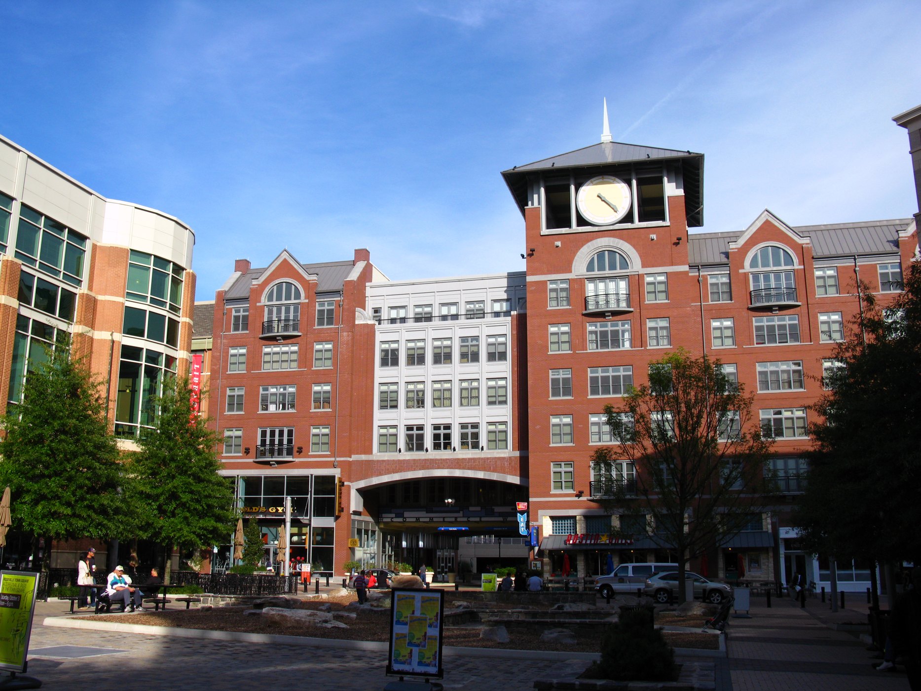
A WALK AROUND TOWN
A recorded walk through downtown Rockville, showing streets and Town Square surroundings. Not a live camera or current conditions report.
Watch on YouTube ↗Carderock Recreation Area Pavilion (National Park Service), about 8 miles south of Rockville as the crow flies. Next are Chesapeake & Ohio Canal National Historical Park (8 mi) and Anacostia Park (17 mi).
Yes, anglers 16 and older generally need a Maryland fishing license from the state wildlife agency. Rules, seasons and limits vary by water.
Federal agencies including National Park Service, Fish and Wildlife Service. Each listing links to its official page for hours, fees, closures and current conditions.